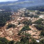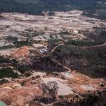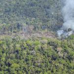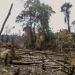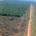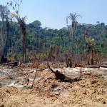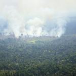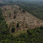

The near real-time deforestation radar monitoring system (Sirad X) is a series of algorithms that process information from the satellite Sentinel-1. It works on a platform called Google Earth Engine (GEE), which quickly runs big amounts of data in the “cloud”.
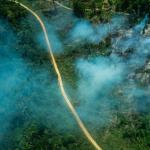
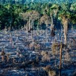
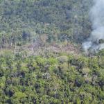
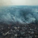
The team of analysts from Xingu + Network examines each part of the basin looking for anomalies on the produced images. Each deforestation polygon is measured according to its proximity with other degradation spots and the region’s history and, if necessary, local people are contacted for field verification. Every two months, the Xingu+ Network team writes a report with Sirad X information, detailing the main results of the monitoring during the analysed period, highlighting the critical areas and the detected deforestation in the Xingu River Basin.
Access here the video versions of the report.